MARITIME-DATABASE.COM
THE MARITIME NETWORK
 
 
Maritime Datebase / Vessels / GALVESTON ISLAND

galveston island (Hopper Dredger) - IMO 9952878, MMSI 366304000, Call Sign WDN4450 under the flag of United States (USA).

GALVESTON ISLAND

Name : GALVESTON ISLAND
Type : Hopper Dredger
FLAG : United States (USA)
IMO : 9952878
MMSI : 366304000
CALLSIGN : WDN4450
LENGTHBEAM : 106 / 21 m
GROSS : 5624
SUMMER_DWT : 7100
LOA : 106
BEAM : 21
YEAR_BUILT : 2024


Current voyage:
Course : 156
Speed : 8.5 knots
Latitude / Longitude: : 30.36275 / -81.61923
Current draught : 4
Reported Destination : JACKSONVILLE, FL
Reported ETA : 0000-04-24 19:00:00
Position Received: : 2024-04-28 17:30:50


Current Port: : Dames Point

GALVESTON ISLAND built in 2024 (0 years ago) is a vessel in the Hopper Dredger segment. Its IMO number is 9952878 and the current MMSI number is 366304000. The vessel has callsign WDN4450. Summer deadweight is 7100 and gross tonnage 5624. Her current width is reported to be 21 meters. Her length overall (LOA) is 106 meters. Latest reported draught is 4 meters. GALVESTON ISLAND is sailing under the flag of United States (USA).


Similar vessels
Vessel Built GT DWT Size
MEDWAY 2012 6725 7347 120 / 21 m
BEACHWAY 2010 6848 7445 119 / 21 m
ZHE LU GONG 002 2013 5329 7179 105 / 19 m
HANGJUN 4008 1979 6797 7335 129 / 18 m
DANIEL LAVAL 2002 5353 6850 104 / 22 m
SHANTISAGAR4 2007 5292 7364 102 / 18 m
DCI DREDGE XI 1986 5159 7355 103 / 18 m
JAMES 1980 4733 6982
DCI DREDGE XXI 2014 6970 7129 116 / 22 m
FRANCESCO DI GIORGIO 2003 4683 6975 95 / 22 m
GT 789 2009 2999 7011 124 / 17 m
JADE 2012 2996 6889 90 / 16 m
HANG JUN 4019 2021 6168 7135 103 / 22 m
HANSON THAMES 2021 4919 6823 101 / 16 m
HANG JUN 4017 2022 6168 7135 103 / 22 m
HANG JUN 4018 2022 5853 7135 103 / 22 m


Disclaimer: 
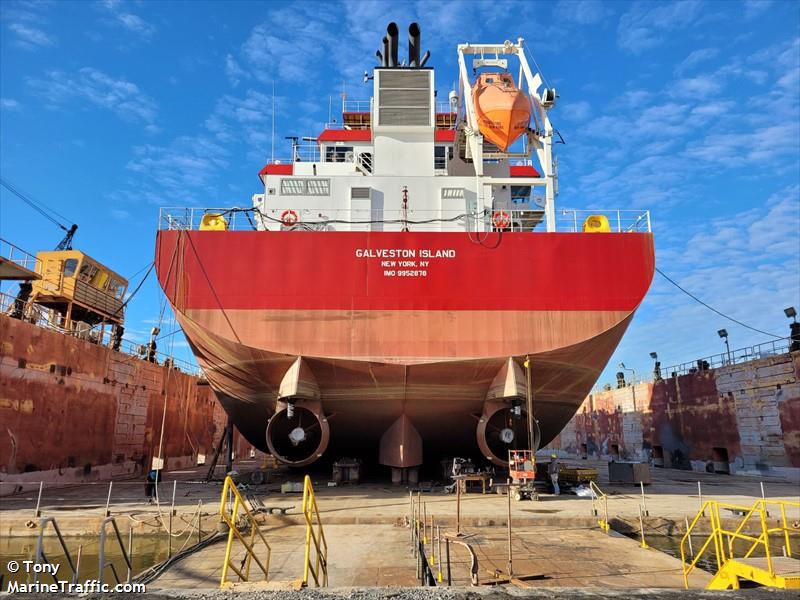
GALVESTON ISLAND current position and history of port calls are received by AIS. Maritime Database provides technical specifications, tonnages, and management information. The information is provided by Maritime Database for free and without any assurance. GALVESTON ISLAND data is provided for informational reasons only, and Maritime Database assumes no responsibility for its accuracy or reliability.
  HOME   |   AREAS   |   COUNTRIES   |   PORTS   |   VESSELS   |   TOP PORTS   |   ADD YOUR COMPANY   |   ABOUT US
Search for